Introduction
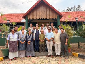
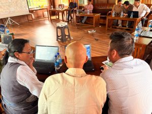
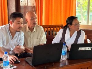
A three-day GIS Cell Training Workshop was conducted to enhance participants’ understanding of Geographic Information Systems (GIS) and their practical applications in settlement planning and management. The training was facilitated by two GIS consultants and attended by representatives from various Area Offices of Education (AOEs) and ORTCs. The workshop focused on developing practical skills in GIS mapping, spatial data collection, and the use of geospatial tools for effective planning and decision-making.
Objectives of the Training
The objectives of the training workshop were:
- To provide participants with a basic understanding of Geographic Information Systems (GIS).
- To introduce participants to geospatial tools such as Google Earth Pro and Bhuvan.
- To develop practical skills in mapping, spatial data collection, and analysis.
- To demonstrate the application of GIS in settlement planning and resource management.
- To encourage the use of GIS technology for future development and administrative activities.
Day One: Introduction to GIS and Geospatial Tools
The training commenced with an introductory session conducted by the two GIS consultants. Participants were introduced to the fundamental concepts of Geographic Information Systems (GIS), including spatial data, mapping principles, and the importance of GIS in planning and resource management.
The consultants also introduced participants to Google Earth Pro and Bhuvan, explaining their features and practical applications. Demonstrations were conducted on how to navigate maps, identify locations, visualize geographic information, and use geospatial tools for mapping purposes. The day concluded with discussions and practical exercises that enabled participants to become familiar with the software and its functions.
Day Two: Practical Exercises and Case Study
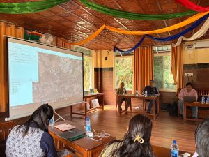
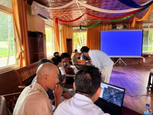
During the first half of the second day, the GIS consultants demonstrated real-life applications of GIS using Google Earth Pro. Various Tibetan settlements were used as case studies to show how GIS technology can be utilized for mapping, planning, infrastructure management, and data collection. Through these practical examples, participants gained a better understanding of how geospatial tools can be applied to address real-world challenges and support effective decision-making within Tibetan settlements.
The consultants further demonstrated techniques such as location identification, creation of placemarks, measurement of distances and areas, and visualization of settlement features using Google Earth Pro and Bhuvan. The session provided participants with practical insights into the implementation of GIS in settlement administration and development activities.
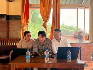
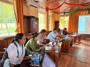
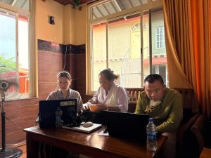
During the second half of the day, all AOE and ORTC representatives were assigned practical GIS tasks based on the concepts and techniques learned during the training. Participants worked on their respective assignments with guidance and support from the GIS consultants. This hands-on session enabled participants to apply their newly acquired knowledge and develop practical skills in GIS mapping and spatial data management.
Day Three : Presentation and Review of Tasks
The third day of the training was dedicated to the presentation and review of the practical GIS tasks completed by the participants. Representatives from all AOEs and ORTCs presented their work and demonstrated the maps and data they had prepared during the training exercises.
The GIS consultants carefully reviewed each presentation, identified errors where necessary, and provided guidance on how to improve the accuracy and quality of the work. Participants received constructive feedback and practical recommendations to enhance their understanding of GIS mapping techniques and data management practices.
Throughout the session, participants actively raised questions and clarified their doubts regarding GIS concepts, mapping procedures, and the use of Google Earth Pro and Bhuvan. The consultants addressed these questions and shared additional insights based on their professional experience, making the session highly interactive and informative.
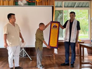
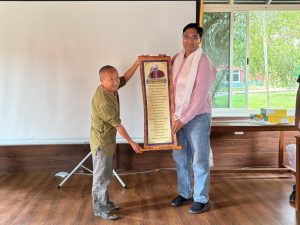
The training concluded with a closing ceremony during which appreciation was expressed to the GIS consultants for their valuable guidance and support throughout the workshop. As a token of gratitude and appreciation, gifts were presented to the consultants on behalf of Loden la. The workshop ended with a vote of thanks and encouragement for participants to continue applying GIS knowledge and skills in their respective settlements and offices.
Conclusion
The GIS Cell Training Workshop successfully enhanced participants’ knowledge and practical skills in Geographic Information Systems (GIS). Through the use of Google Earth Pro and Bhuvan, participants gained valuable experience in mapping, spatial analysis, and geospatial data management. The practical exercises, case studies, presentations, and expert feedback sessions provided participants with a deeper understanding of GIS applications and their relevance to settlement planning and administration.
The workshop was highly informative and beneficial, equipping participants with knowledge and skills that can be applied in their respective settlements and offices. The training also provided an excellent platform for participants to exchange ideas, discuss challenges, and learn from one another’s experiences.
We would like to express our sincere gratitude to the GIS consultants for their guidance, expertise, and dedication throughout the training. We also extend our heartfelt appreciation to ORTC and SARD for organizing and facilitating this valuable workshop. Their efforts and commitment made the training a success and contributed significantly to strengthening GIS capacity within the Tibetan settlements.
It is hoped that the knowledge and skills acquired during this workshop will contribute to more effective planning, resource management, and data-driven decision-making in the future.